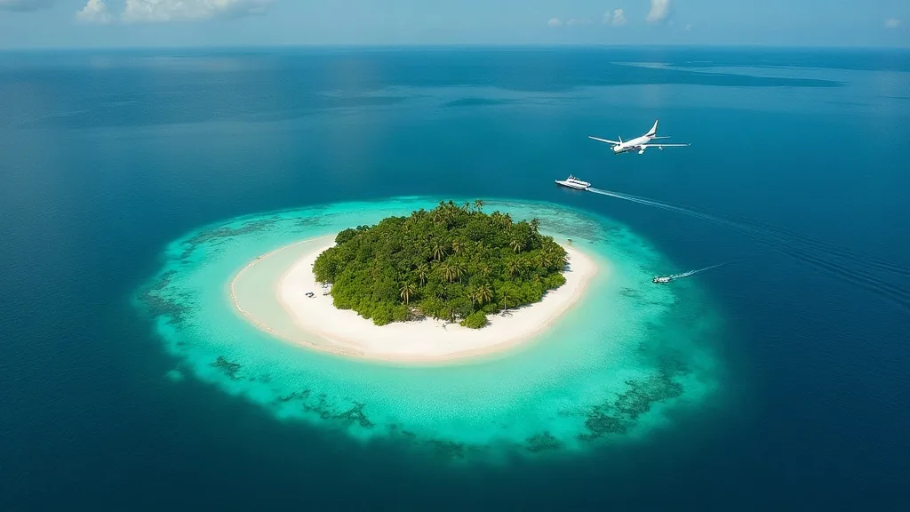
Remote Island Seaplane Charter Indonesia: Reaching Water Landing Sites Beyond the Main Routes
A remote island seaplane charter is possible anywhere a water aerodrome is certified or registered under Indonesia’s aviation rules, or where a landing site can be shown to meet the technical standards in CASR Part 139 Volume III Seaplane Bases. Juara Holding Group, an independent charter coordination desk operating since 2015, checks the site against those standards, coordinates the marine and airport approvals involved, and pairs the trip with a licensed CASR Part 135 operator — it does not own or fly the aircraft itself.
Most published seaplane content in Indonesia covers eight known hub locations or fixed routes between named cities. This page exists for everything outside that map: a private villa on an outer island, a surf break with no jetty, a dive liveaboard rendezvous point, or a research camp that has never seen a scheduled flight. The question is never “is there a route” — it’s “does the water at that point meet the standard, and is an operator willing to fly it.”
How do you know if an island can take a seaplane?
Indonesia’s Directorate General of Civil Aviation (DGCA), under the Ministry of Transportation, adopted seaplane-base standards from FAA Advisory Circular 150/5395-1 and published them domestically as the Manual of Standard CASR Part 139 Volume III (Waterbases). A water aerodrome is legally treated as an airport: under CASR 139 sub-regulation 139.101 it must be certified or, for smaller operations, registered before commercial flights use it, and the shoreline facilities that support it fall under the same certification.
Before the desk quotes a remote landing, five things get checked:
- Certification or registration status. Is the site already listed under 139.101, or would it need to go through that process first?
- Water depth. DGCA guidance treats 1.8 m as the preferred operating depth, with a minimum of 1 m adequate for single-engine aircraft. Shallow lagoons and reef-fringed anchorages often fail this test even when they look calm.
- Elevation adjustment. The required water operating area length increases by 7 percent for every 300 m of elevation above sea level — relevant for crater lakes and highland reservoirs, not coastal sites.
- Taxi channel width and orientation. A minimum 45 m wide taxi channel is expected, with direct access to onshore facilities and, where possible, alignment into the prevailing wind or current.
- Marine traffic coordination. A ministerial regulation enacted 22 August 2025 (State Gazette 2025 No. 620) requires water aerodrome organisers to coordinate with coastal radio stations and Vessel Traffic Services (VTS) units, and requires seaplane operations on water to follow shipping-sector law alongside aviation law.
Under CASR Part 91, an aircraft on the water has to keep clear of vessels and give way under standard right-of-way rules — a factor at any site with active fishing or dive-boat traffic, remote or not.
Which remote use cases does the desk arrange?
| Use case | What the desk checks first | Typical coordination need |
|---|---|---|
| Private villa transfer | Registered/certified landing point near the property, depth at low tide | Ground transfer from waterline to villa |
| Surf camp charter (Mentawai/Telo-type destinations) | Only where an approved water-landing site already exists — not every break qualifies | Board racks, tide-dependent timing |
| Dive camp / liveaboard rendezvous | Anchorage depth, VTS coordination with dive-boat traffic | Tank and gear handling on arrival |
| Conservation or NGO logistics | Multi-leg routing, cargo weight limits | Equipment manifests, repeat scheduling |
| Scientific survey support | Site not previously used for aviation — registration pathway likely needed | Longer lead time, permit sequencing |
Each row above is a coordination category, not a guarantee — the desk confirms feasibility per island before any date is set.
What gear can travel?
Surfboards, dive kit, and similar equipment can usually travel by arrangement, subject to the aircraft’s weight and balance limits on the day. DGCA’s registered seaplane bases in Indonesia currently serve Cessna 208A Caravan and DHC-6 Twin Otter aircraft configured for 9 seats, and actual seat/cargo trade-offs depend on fuel load, passenger weight, and air temperature — hot, humid days reduce usable payload more than cooler mornings. The operator confirms exact allowances once passenger count and gear list are known; this is set per charter, not as a fixed policy.
What if no site exists yet?
Some of the best remote-island requests come from places that have never had a water aerodrome. That’s not an automatic no — it means a different, longer pathway:
- Marine spatial clearance — confirming the water area doesn’t conflict with existing marine use or protected zones.
- Airport-side registration or certification under CASR 139.101, matched to the site’s depth, channel width, and elevation profile.
- Sea-operations coordination with the nearest coastal radio station and VTS unit, as required under the August 2025 ministerial regulation.
None of these timelines are guaranteed, and the desk will say so plainly rather than promise a date. For a well-documented private site with cooperative local authorities, the process can move faster than for a site requiring fresh survey work; either way, the honest answer is “we start the check and tell you what we find,” not a fixed number of weeks.
Indicative charter structure
No official national price list exists for seaplane charters in Indonesia — rates are each operator’s commercial decision, quoted per trip. The table below shows how a remote charter is typically structured, not a fixed tariff.
| Option | Typical format | Passenger capacity | How the rate is set |
|---|---|---|---|
| Single remote leg | One-way, mainland hub to island site | Up to 9 (Caravan/Twin Otter configuration) | Distance, fuel stop needs, site complexity |
| Round-trip day charter | Out and back same day | Up to 9 | Waiting time on the water, fuel |
| Multi-stop island run | Several remote sites in sequence | Up to 9, cargo trade-off per stop | Number of legs, total flight time |
| Standby / on-call charter | Held for weather or tide windows | Up to 9 | Operator’s availability terms |
Fuel logistics factor into every quote. Indonesian aviation fuel bulletins for 2025-2026 list Jet A-1 at roughly 81-82 US cents per litre at hub airports such as APT Pranoto Samarinda and Pattimura Ambon — remote sites without fuel infrastructure require the aircraft to carry return fuel or stage through a fuel stop, which affects both payload and price.
How booking works
- Send the coordinates or resort/camp name to the desk via WhatsApp or email, with your preferred dates and passenger count.
- The desk checks the site against certification/registration status, depth, taxi-channel and VTS coordination requirements.
- A Part 135 AOC-holder operator is matched to the route, aircraft, and gear requirements — the desk arranges this; it does not fly the aircraft.
- Weight-and-balance and marine permits are confirmed before a date is locked, including any fuel-stop staging.
- Charter day logistics are set, covering onward ground or boat transfer from the waterline.
Because Indonesian aviation law (Law No. 1 of 2009) prohibits foreign carriers from carrying passengers between two points inside Indonesia, and the Transportation Ministry has confirmed that routing through an online agent doesn’t get around that rule, every domestic leg the desk arranges is flown by an Indonesian AOC holder.
Check my island
If you have a specific coordinate, resort name, or GPS pin in mind, send it to Juara Holding Group’s concierge desk — WhatsApp 6281139414563 or bd@juaraholding.com — with your dates and party size. The desk will confirm whether the site is already registered, what checks are still outstanding, and which Part 135 operator can realistically fly it, before any commitment is made.
Frequently Asked Questions
Can a seaplane land anywhere near a remote island in Indonesia?
No. The water area must be certified or registered as a seaplane base under CASR 139.101, or shown to meet CASR Part 139 Volume III standards — minimum 1 m depth for single-engine aircraft, 1.8 m preferred, with an adequately wide taxi channel. Calm-looking water that hasn’t been assessed against these standards can’t be assumed safe or legal for commercial charter.
How long does approval take for a new water landing site?
There’s no fixed timeline in the current regulations, and the desk won’t invent one. It depends on whether marine spatial clearance, airport-side registration under CASR 139, and coordination with the local coastal radio station and VTS unit are already in place or need to start from scratch. A documented private site can move faster than a site needing a fresh survey.
What is the minimum water depth for a remote island charter?
DGCA base standards note 1 m as adequate for single-engine seaplane operations, with 1.8 m treated as the preferred depth. Depth needs also scale with elevation — the required operating area length grows 7 percent for every 300 m above sea level, relevant for lakes rather than coastal sites.
Can surfboards and dive gear travel on the flight?
Yes, by arrangement. Both DGCA-registered aircraft types used in Indonesia (Cessna 208A Caravan, DHC-6 Twin Otter) fly in 9-seat configurations, and the operator confirms exact weight-and-balance allowances for boards or dive kit once passenger count and gear list are set — payload varies with fuel load and air temperature on the day.
Who actually flies a Juara Holding Group remote island charter?
Juara Holding Group is an independent coordination desk, not the aircraft operator. Every flight is matched to and flown by a CASR Part 135 Air Operator Certificate holder registered in Indonesia, in line with Aviation Law No. 1 of 2009’s rule against foreign carriers flying passengers between two Indonesian points.